Industries.
-
![]()
Construction
Construction Progress Reports
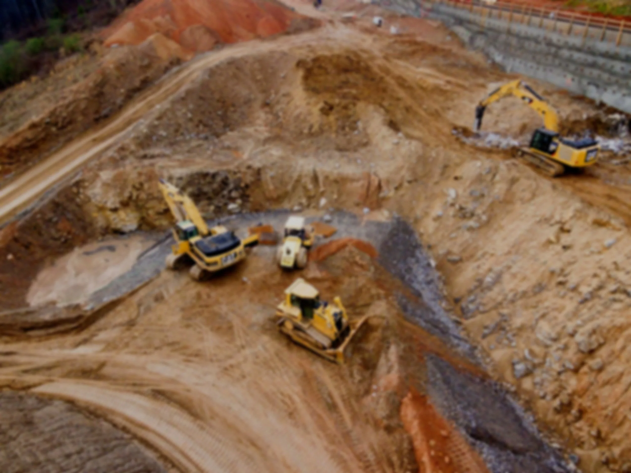
Drones can be used to monitor progress on construction projects and identify any issues or delays that may arise.
Update your clients and stakeholders at each stage of the construction process and provide them with a time-lapse upon completion of the build.
GPS coordinates surrounding the site are saved, and high-resolution photos and videos are produced weekly/bi-weekly/monthly (At your chosen intervals).
You will receive a link directly to your inbox with your package within 24 hrs of the flight.
2D Maps & 3D Models
Hundreds of images are taken on-site and stitched together in post-processing generating a 2D map and/or 3D model of your site.
Take distance, area, and volumetric measurements to make informed decisions and keep your team updated.
Safety
Drones can be used to inspect dangerous or hard-to-reach areas, reducing the need for workers to put themselves in potentially hazardous situations.
Cost-efficiency
Drones can save time and money by reducing the need for traditional surveying methods and by providing real-time data and images to help with decision-making.
Quality Control
Drones can be used to inspect the quality of construction work, ensuring that it meets the required standards.
-
![]()
Real-Estate
Photography and Videography
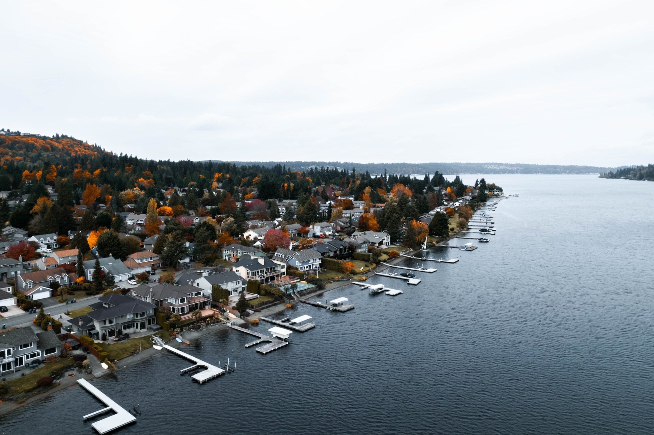
Drones can take aerial photos and videos of properties, giving potential buyers a unique perspective and showcasing the property's features and surroundings.
Marketing
Drones can be used to create promotional videos and virtual tours of properties, making them more attractive to potential buyers.
Site Surveying
Drones can survey land and buildings, providing detailed information and images to aid planning and development.
Property Management
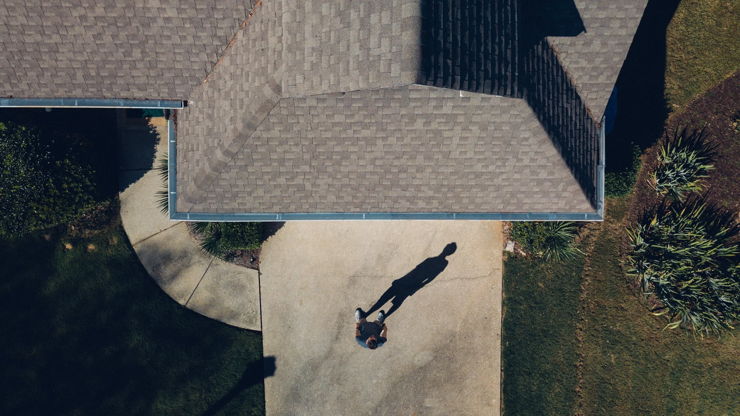
Drones can be used to inspect and assess the condition of rental properties, including roofing and siding, and identify any issues that need to be addressed.
*Professionally edited or raw packages are available.
-
![]()
Insurance
Claims Inspection
Drones can inspect the damage to properties, providing insurers with detailed images and information to help with the claims process.
Add a high-resolution, interactive map or model to your tool kit for fast, effective property inspections.
Risk Assessment
Drones can be used to survey and inspect properties and businesses, helping insurers to identify and assess potential risks and hazards.
Cost-efficiency
Drones can save time and money by reducing the need for traditional inspection methods, and by providing real-time data and images to help with decision-making.
Safety
Rather than climb onto the roof to take pictures, let a certified drone professional capture the data for you.
Underwriting
Drones can inspect properties and businesses, providing insurers with detailed information and images to help with underwriting decisions.
-
![]()
Keepsake
Whether it’s a gift or a conversation starter, get professionally edited aerial photos/videos of your beloved property.
-
![]()
Contracting
Need a professional drone pilot? Reach out for a custom quote


