The Basics.
-
At Drone Now, aerial imaging is our passion. By combining industry-leading tech, software, and training, we can deliver high-quality drone media packages safely, effectively, and promptly.
There are many aspects in which drones can be beneficial, but some of our focuses include; capturing development progression, property damage inspections for insurance, real estate, keepsake media, and more.
We approach each project with an open mind and are committed to customer satisfaction.
Browse our services, and don't hesitate to contact us to discuss your vision!
-
We keep it simple.
1. Contact - Reach out to book or discuss a package.
2. Drone - We safely plan the flight and fly the mission.
3. Now - Receive your package as soon as 24 hrs post-flight.
-
See our services page to get a better understanding of what we offer. But in any case, you will be sent a link directly to your inbox containing the deliverables.
Orthomosaic Maps
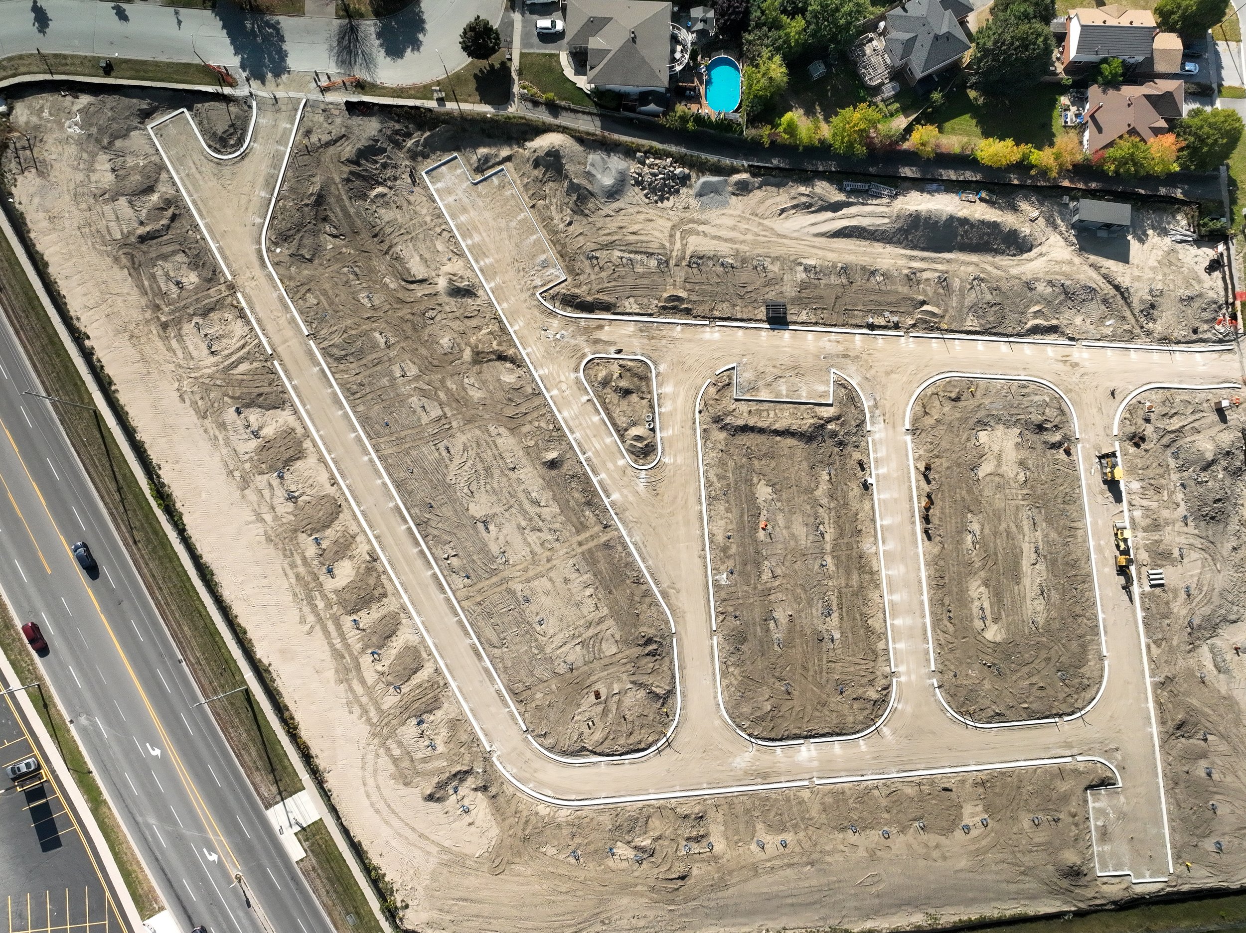
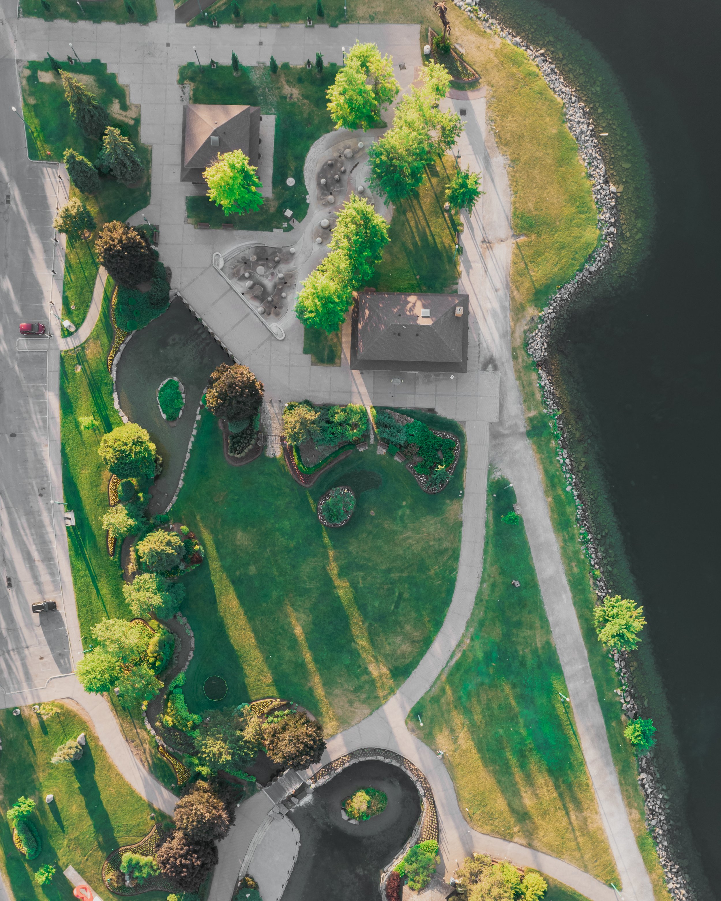
An orthomosaic map is a highly detailed drone-generated image of land made by stitching together hundreds of aerial photographs using advanced software.
Drone orthomosaic maps can be a valuable tool in marketing for a variety of purposes, especially in industries where visual representations of landscapes, properties, or assets are essential. Here are some ways in which drone orthomosaic maps can benefit marketing efforts:
-
Orthomosaic maps provide high-resolution, bird's-eye-view images and videos of a location, which can be used in marketing materials such as brochures, websites, or promotional videos. This aerial perspective can offer a unique and visually appealing way to showcase properties, landscapes, or events.
-
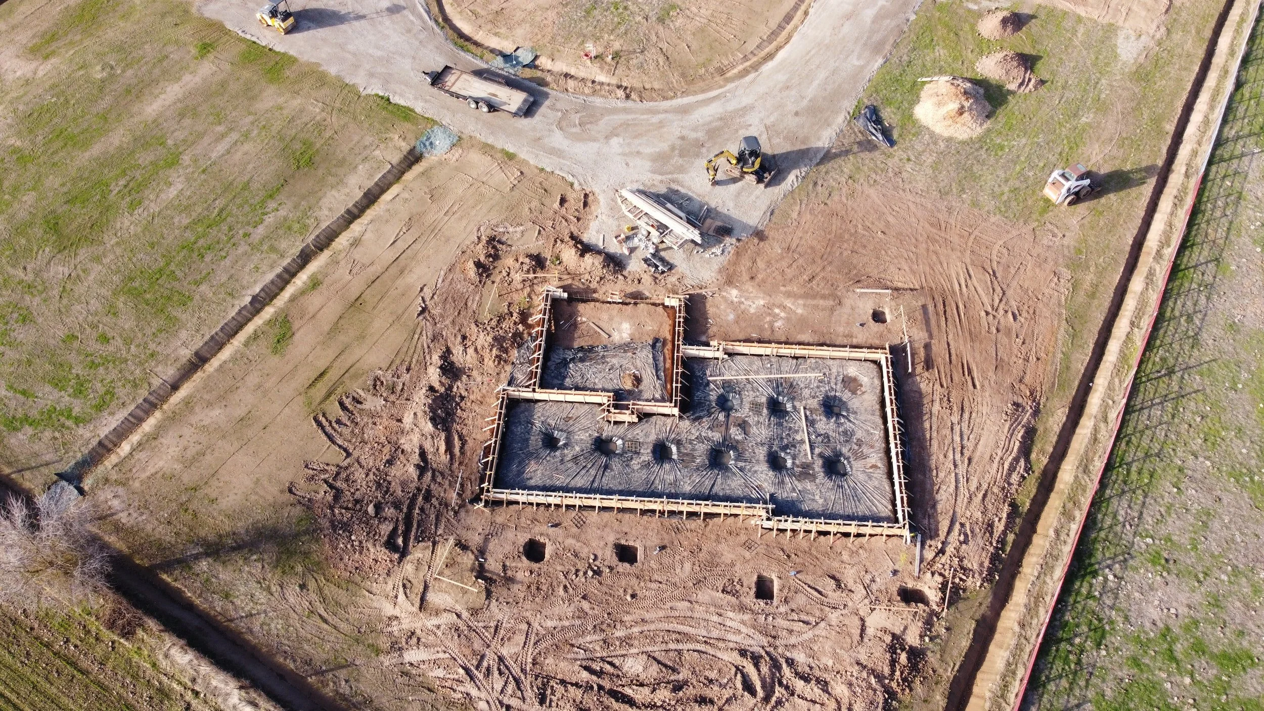
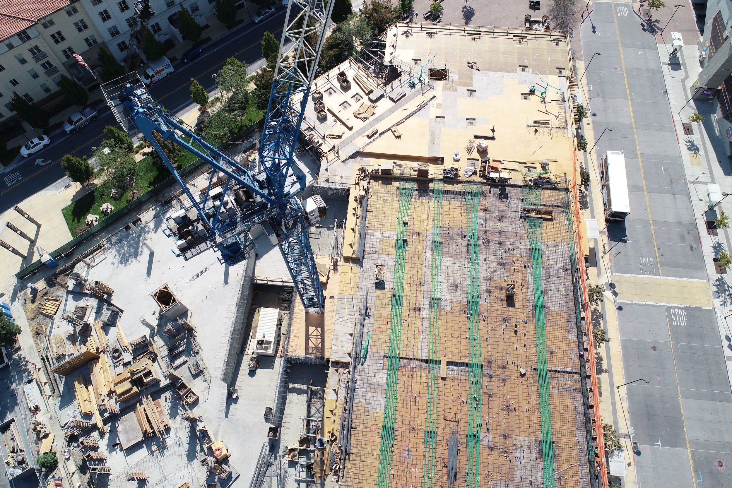
In ongoing projects, marketing efforts can benefit from the use of drone maps to show stakeholders or customers the progress made over time, which can build confidence and attract more business.
-
Developers can use orthomosaic maps to present the layout of planned developments or construction projects to potential investors, buyers, or stakeholders. This helps in visualizing the final outcome and can be a persuasive tool.
-
In the real estate industry, drone orthomosaic maps can help potential buyers or renters get a comprehensive view of a property's layout, size, and surroundings. It can give a clear perspective of the property's features, like proximity to parks, schools, or other amenities.
-
For events like outdoor concerts, festivals, or weddings, drone-generated maps can be used to showcase the event's location and layout. It can help attendees understand the event setup and attractions.
-
When marketing high-value estates, antiques, or unique assets, aerial views provided by drone maps can be particularly compelling in highlighting the scale, grandeur, and distinctive features of the items.
-
In the tourism industry, such maps can be used to show the beauty and amenities of a resort, hotel, or tourist destination. This allows potential visitors to get a better sense of what to expect.
-
In agriculture, drone orthomosaic maps can be used to monitor crop health, assess field conditions, and plan marketing strategies based on the data. For example, maps showing healthy and vibrant crops can be used in marketing materials to attract buyers or investors.
-
For businesses or organizations focused on environmental conservation, these maps can demonstrate ecological restoration efforts, conservation areas, or the positive impact of initiatives.
-
For companies involved in surveying and land management, orthomosaic maps can be used in marketing to showcase the accuracy and precision of their services.
Progress Sliders.
before and after image sliders in construction offer a visual and practical way to document, communicate, and manage construction projects effectively, benefiting both construction professionals and their clients. They are a valuable tool for quality control, project tracking, marketing, and risk management.
Timplapse video.
Construction progress aerial timelapse videos offer a powerful tool for project management, documentation, marketing, and overall project success. They provide a detailed and visually engaging way to monitor, communicate, and optimize construction projects from start to finish.
Industries.
-
Construction Progress Reports
Enlighten your clients, stakeholders, and team members with high-resolution aerial imaging.
Gain invaluable site knowledge to help stay on track by monitoring progress and resources.
Avoid issues before they arise.
2D Maps & 3D Models
Get an up-to-date interactive digital map or model of your site for pre-built evaluation or progress reporting.
Take accurate distance, area, and volumetric measurements.
Make informed decisions and keep your team updated.
-
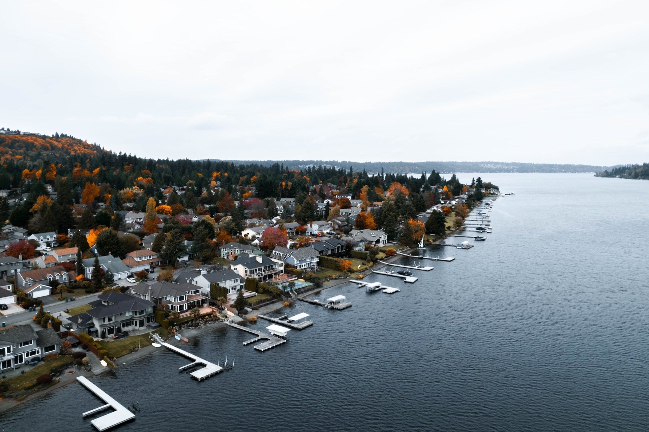
Separate yourself from the competition by adding dynamic aerial shots to your listings.
Professionally edited or raw packages are available.
-
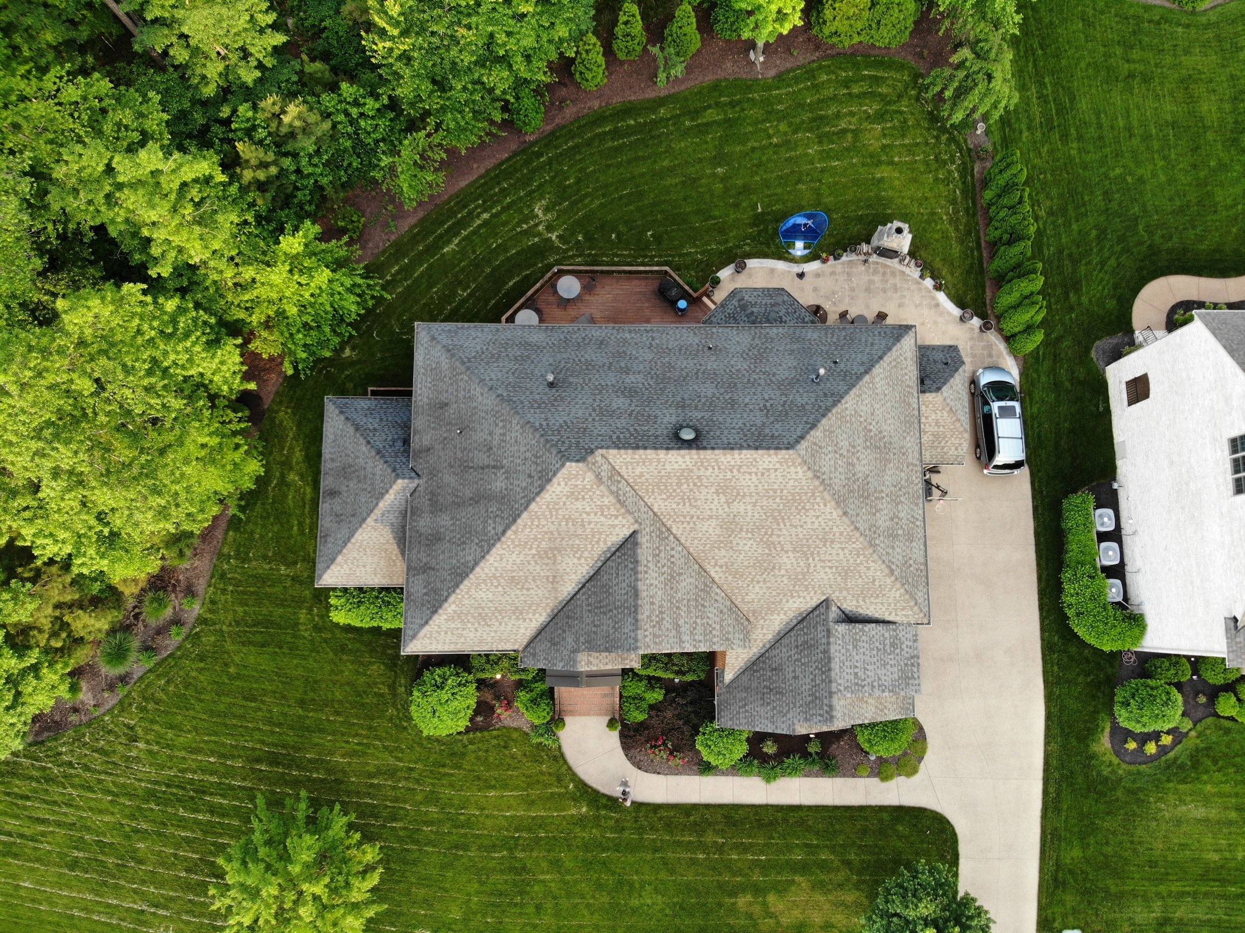
Rather than climb onto the roof to take pictures, let a certified drone professional capture the data for you.
Add a high-resolution, interactive map or model to your tool kit for fast, effective property inspections.
Roof Damage Inspections / Post-Disaster Claims Inspections / Pre-Disaster Mapping.
-
Whether it’s a gift or a conversation starter, get professionally edited aerial photos/videos of your beloved property.
2D Orthomosaic Map
& 3D Model
How many times have you used Goole Maps to source information? A custom orthomosaic map is better because it’s much higher resolution, you can take custom measurements, and it shows the property in its current state.
Mapping your property with a high-definition orthomosaic can be an invaluable resource for collecting a visual representation of:
Project progression
Topographical information
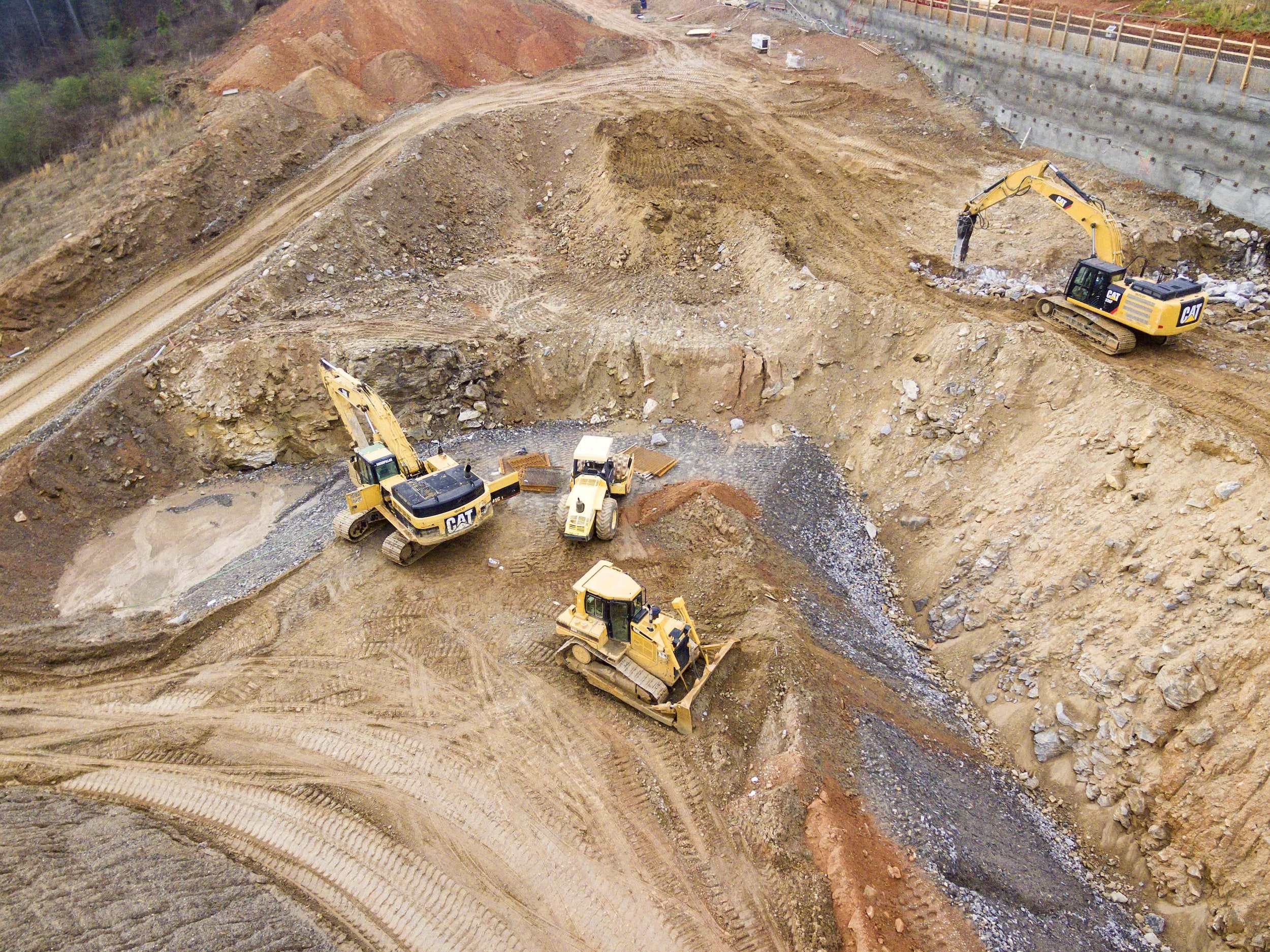
Visual records of excavation
Stockpile measurement
Cut and fill analysis
Check out the examples and their interactive capabilities.
2D Orthomosaic
3D Model
Training
Our first priority is safety! Our pilot is certified by Transport Canada for Advanced Operations.
Required flight plans, site surveys, and airspace approval applications are conducted before each flight to ensure a safe and uninterrupted mission.
Transport Canada certification is legally required to fly professional grade (+250g) Remotely Piloted Aircraft Systems (RPAS), around people and in controlled airspace.


